About Powder River County
Powder River County is a rural, agricultural county of 3297 square miles, located in southeastern Montana. The population density is 0.6 persons per square mile, compared to the Montana average of 6.0 per square mile. The County was created from Custer County on March 17, 1919, and named for the Powder River which runs through it. The Powder River was named because of the gunpowder-colored sand on its banks. "A mile wide and an inch deep" is a favored description of the river.
Major land ownership in the county is comprised of the following:
- Private: 1,368,309 acres, 65%
- US Forest Land: 340,381 acres, 16%
- BLM: 257,005 acres, 12%
- State Trust Land: 143,472, 7%
- Water: 558 acres, 1%
Total acres in Powder River County equals 2,109,728 million, most of which is used for rangeland purposes.
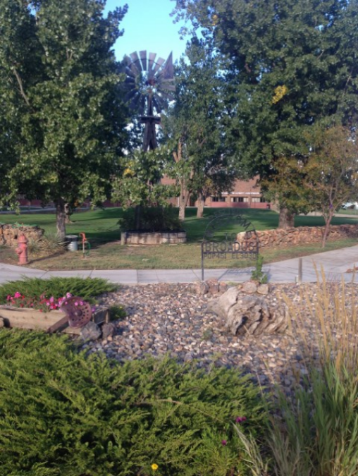
Broadus, named for a local family (Broaddus) is the county seat and the major business center of the county. The Broadus post office was established in 1900. While there are several small communities, Broadus is the only incorporated town in Powder River County. About 28% of the county's residents live in Broadus.
The population of Powder River County is 1743, according to the 2010 census figures. The population of Broadus is 468.
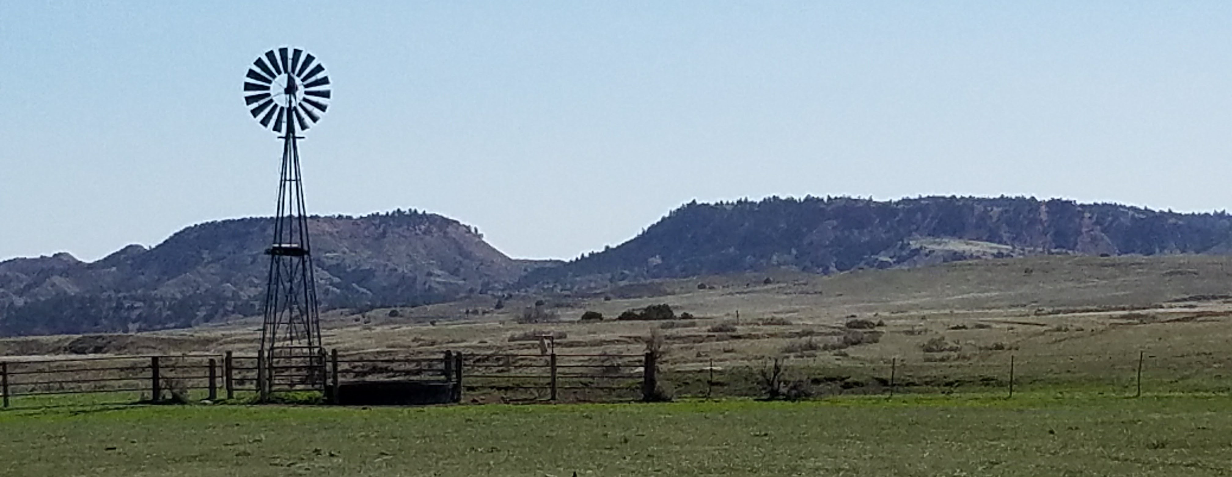
At this time, Powder River County is primarily rural and agricultural. There is limited oil and timber production, though significant reserves of these resources exist. Most of Powder River County is grazing land. Since 1954, farm acreage has fluctuated between 1.54 and 1.72 million acres. The number of ranches has decreased and their average size has increased. This reflects a national trend of mechanization replacing manual labor due to increasing cost to the employer, and the increasing difficulty of finding ranch workers.